With summer rapidly approaching everyone is getting their travel plans set. If you include a trip to Western North Carolina, you most likely will find yourself driving along the Blue Ridge Parkway. The parkway was originally constructed in 1936, and connects The Great Smoky Mountains National Park and Shenandoah National Park. Along the way there are many trailheads, outlooks, campgrounds, and museums. Here are some of my favorite hikes off the parkway.
- Richland Balsam: 1.4 mile loop
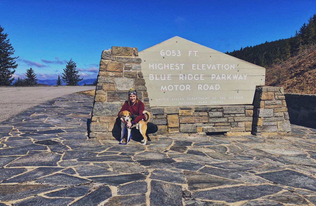
The highest mountain off the Blue Ridge parkway at 6,410 feet. A moderate nature trail with 700ft elevation gain, through the forest to the peak. No real view from the top but as you make your way to the back of the mountain there’s plenty of views. Park at the Haywood-Jackson overlook, mile post 431.
- Craggy Gardens: 1.9 mile out and back
Early June is when the rhododendrons are in bloom and the trail is covered in bright pink flowers. A fairly easy hike with lots of space to set up for a picnic and plenty of trees to hand up a hammock and relax. Mile post 364.4
- Rough Ridge: 2.5 mile out and back
Great view of the nearby Grandfather Mountain and Linville Cove Viaduct. This is a great spot anytime of the year but especially fall to soak in all the changing colors of trees. There is a small parking area by the trailhead. Get there early because this trail is very desired. Mile post 302.8
- Graveyard Fields: 3 mile loop
A flat mountain valley sitting a little over 5,000 feet, surrounded by mountains that tower over at 6,000 feet and above. Climb around waterfalls, and enjoy a swim at the bottom. Late summer you’ll find wild blue and blackberries growing. Mile post 418.8
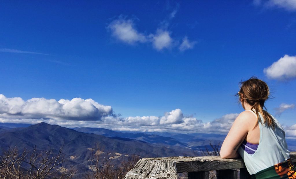
- Mount Pisgah: 2.1 mile out and back
Moderate hike with a rapid 700 foot elevation gain to the top of Pisgah. A wonderful 360 view can be enjoyed from a small platform built by Eagle Scouts. Nearby the trailhead are plenty of picnic spots, campgrounds, general store, restaurant and more. Mile post 408.6
The Blue Ridge Parkway is property of the National Parks Service so check up on your rules before venturing out. Also the easiest way to know if you’re heading in the correct direction is If the mile marker number get smaller, you are heading north and if the mile marker numbers are getting bigger, you are heading south. For more information about Asheville and surrounding areas, check out the Asheville, NC guide!
Happy trails and safe #wildbumming!